Downloading Hiking Data From Open Street Map
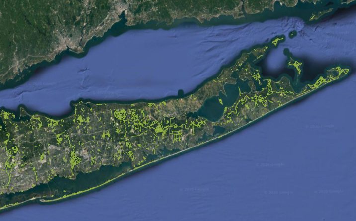
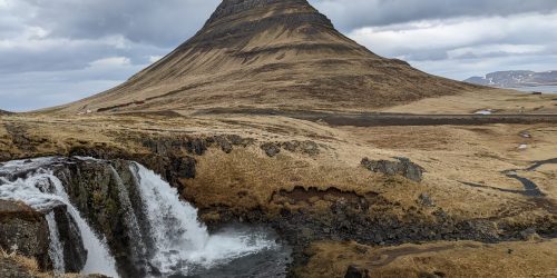
Recently, I needed to import hiking trail data into ArcGIS for a project aimed at increasing trail connectivity throughout Suffolk County on Long Island. There are several sites that allow you to download .GPX files for trails but it would take forever to download and import them all separately.
Instead, I used the below tool to select the area of interest and export all hiking/footpaths in Open Street Map. This proved to be wildly more successful than I had expected. A useful side effect of importing data this way (for this project, at least) was that it only imported true pedestrian trails, not “trails” that are actually just walking along the side of the road.
You can also follow this guide if you need to download data for buildings, points of interest, restaurants, roads, rails, bridges, water, and so many other preset categories. While there was a preset for footpaths, many of the trails were categorized as other pedestrian “highways” so I had to manually add others that I found on the Open Street Map wiki.
I encourage you to research the category you’re trying to find on Open Street Map and see what others exist if the presets aren’t importing everything you need: https://wiki.openstreetmap.org/wiki/Category:Key_descriptions
To import hiking trail data into ArcGIS (or other programs that support .shp/shapefiles) in your community, visit this link: https://export.hotosm.org/en/v3/exports/new/describe
You will be prompted to create an account with Open Street Map and the HOT Export Tool. Name your project and click next. Change the export to .Shp unless you need it in another format and click next.
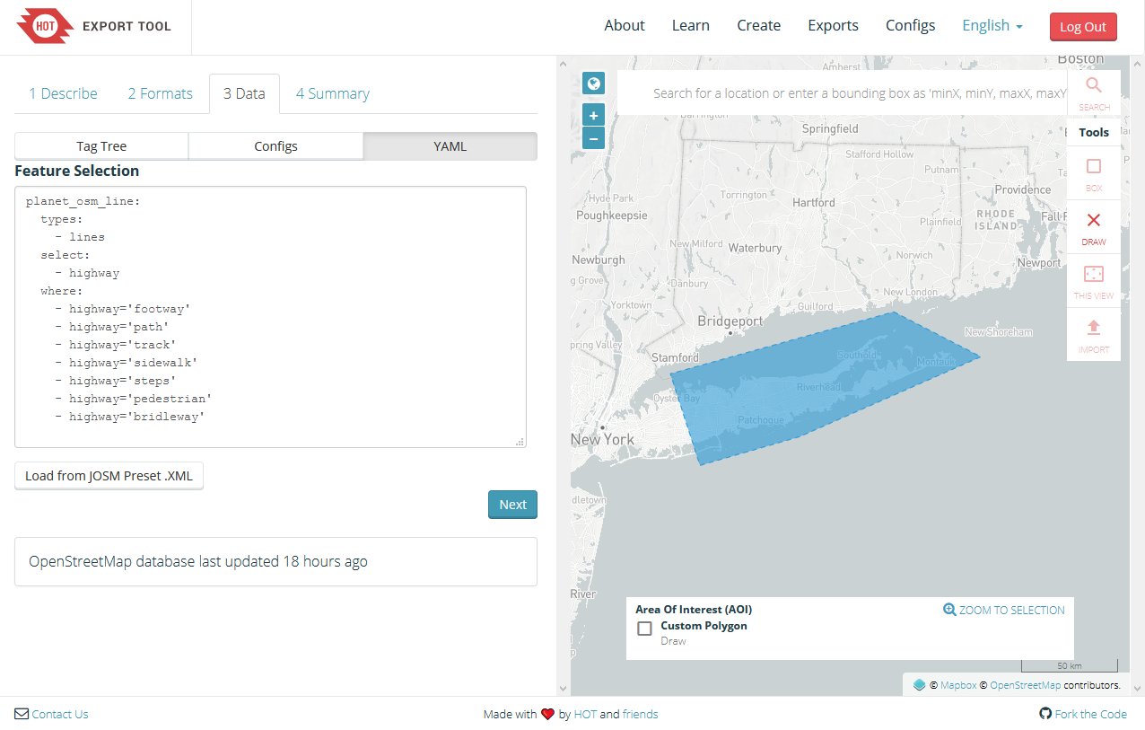
Paste this into the YAML tab, replacing anything that was there:
planet_osm_line:
  types:
    - lines
  select:
    - highway
  where:
    - highway='footway'
    - highway='path'
    - highway='track'
    - highway='sidewalk'
    - highway='steps'
    - highway='pedestrian'
    - highway='bridleway'
Finally, draw the area of interest on the map. There is a limit to this area but I was able to fit my entire county. You can always do the export in multiple pieces. On the summary tab, I clicked Unfiltered files but I don’t know if that’s needed.
Once it’s done, you will get an email. Download and import the shape file as you normally would!
Now, there are definitely some missing trails but if I were to be working on a specific area, I could always download the .GPX file from AllTrails and convert it here: https://mygeodata.cloud/converter/gpx-to-shp